| Hiking at Mount Mitchell 6,684 Feet above Sea Level | |||
 |  | ||
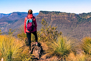
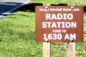
| On a clear day hikers can see 100 miles and into two adjacent states from the summit of Mount Mitchell, located in North Carolina’s first state park. Shutterstock Photo | Signs advise visitors to tune in as they drive in. Photo by Bill Baker | ||
BURNSVILLE, NC, May 2023: Perched on the Blue Ridge Parkway northeast of Asheville, North Carolina, is Mount Mitchell State Park. This gem of the Appalachians boasts the highest mountain peak east of the Mississippi. But to get there, you have to enter a land devoid of many of the services modern America is accustomed to. Gasoline? That’s at least 16 miles away; some days it’s 30. Cellular service? It depends on where you stand. Weather forecasts? Not likely to match the conditions that greet you when you arrive at the top. Food? That’s why they made backpacks.
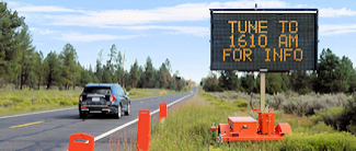
The Friends of Mount Mitchell’s IT manager Alan Orovitz points out that the broadcast, “provides critical safety information. If there are severe weather conditions expected we definitely don’t want people to start out on the trail system.” With the Mount Mitchell station, North Carolina State Parks join hundreds of outdoor venues that have installed Information Radio Stations to inform visitors as they approach – the optimum time to reach out to refresh details they might think they know from the web. Hocking Hills State Park in Ohio installed a similar radio service to tell motorists how they can enjoy their offerings on busy weekends when their most popular venue – Old Man’s Cave – fills up. The park is nestled in a remote part of southern Ohio where cellular coverage is not consistently available. The National Park Service – which invented the Information Radio service back in the 1970’s – employs the technology in dozens of parks and historic sites coast to coast. Grand Canyon National Park broadcasts at the South Rim to advise drivers about all variety of safety issues. Their EventCAST radio station was used heavily during the pandemic to let patrons know what services were available and the safety procedures required amid the changing health regulations. And, with lines at the gate sometimes stretching to two hours, the Park wants to encourage everyone to use their shuttlebuses to save time and keep the air clean. | |||
 Approaching the South Rim, Grand Canyon's info service advises bus schedules, hiking safety. Photo by Bill Baker | Other high profile destinations such as St. Croix Island International Historic Site plan to use a more compact license-free Information Radio System (InfOspot) to broadcast interpretive information when visitor facilities are unmanned. The use of the radio medium for information and interpretation services is a natural, given the demographics of park and historic site visitors, which skews high. Media surveys indicate that people above the age of 45 are much more likely to sample a radio service than a smartphone-based information method. Combined with the reality that digital services are not available in proximity to many of the most popular outdoor venues, radio continues to be a natural fit to keep visitors apprised. | ||
PO Box 51, Zeeland, Michigan, USA, 49464-0051, Phone 616.772.2300, Email
• • •
